|
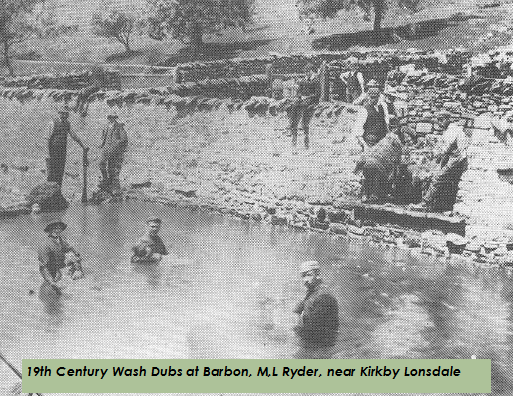
Keer Falls is situated in Wash Dub Wood. A 'wash dub' was a dammed section of river that was used to wash sheep prior to shearing. This was the site of a wash dub for the sheep farmed in the surrounding area.
Sheep would have been gathered from the surrounding land and driven down to the clearing in the wood where we now have our sheep pens. The river would have been dammed and the sheep would have been dipped in the water.
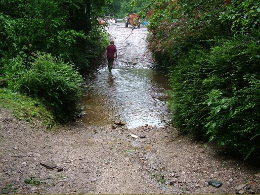
When we first came here in 1986 the wash dub was long since gone and all that remained was part of the stone walls on the river bank and the ford across the river linking the two fields. There is evidence that there has been a ford on this site since Roman times. A number of Roman coins were found near by when the bank collapsed in the 1970's following heavy rain (probably from the stream that now feeds our pond) flooding.
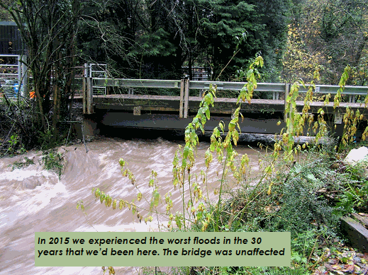
For many years we used this ford daily, crossing on foot and in a variety of vehicles to get to our sheep pens beyond. It has never been a problem for us and frankly we could have carried on using this ford indefinitely. However, crossing the river in this way was washing silt and mud from our vehicles into the water and then onto the spawning beds for sea trout below the falls and pollution from animal manure and oils from tractors was also a problem. As our farm here grew we could see that this was starting to do more damage to the ecosystem and we found that unacceptable and defeated the very reason that we decided to live here in the first place.
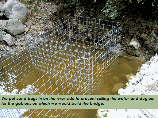
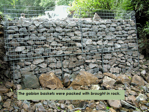
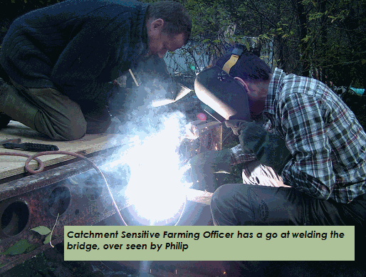
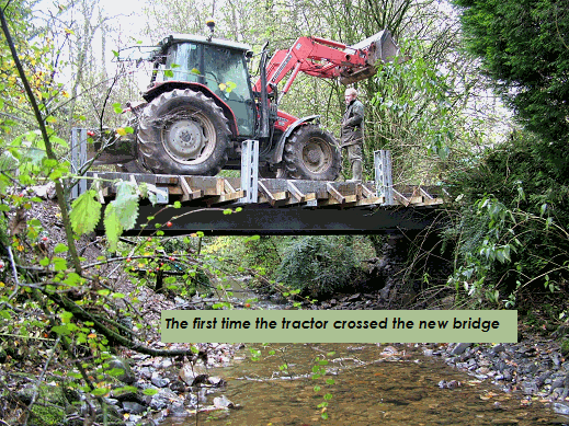
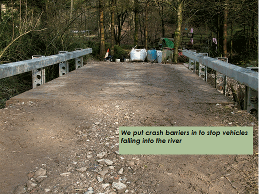
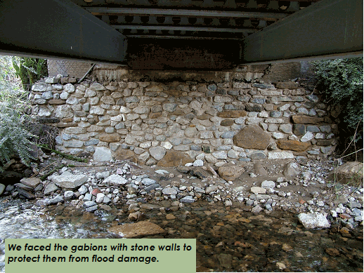
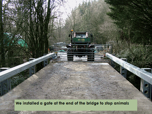
So in 2013 we bit the bullet and set out to build a bridge here to take away the need for us, our vehicles and livestock to cross the ford. We were supported by the National Rivers Authority, British Nature and Defra under the Catchment Sensitive Farming initiative who awarded a grant to help with the costs.
The only real question was why we hadn't done it before? Well, apart from the cost, the river is the county boundary so planning permission would require approval from two district councils, and two county councils. We'd have to have the application examined by two parish councils, the National River Authority, both fisheries and flood control departments, Natural England, Defra and two county council highways departments that might be affected if our plans were thought to increase flood risk and do you know what? I really couldn't face all that agro!
Sad really, once we had Natural England and the National Rivers authority behind us, the rest were cooperative. Well, to a point, there's always one idiot who thinks he knows better than everyone else!
|
|